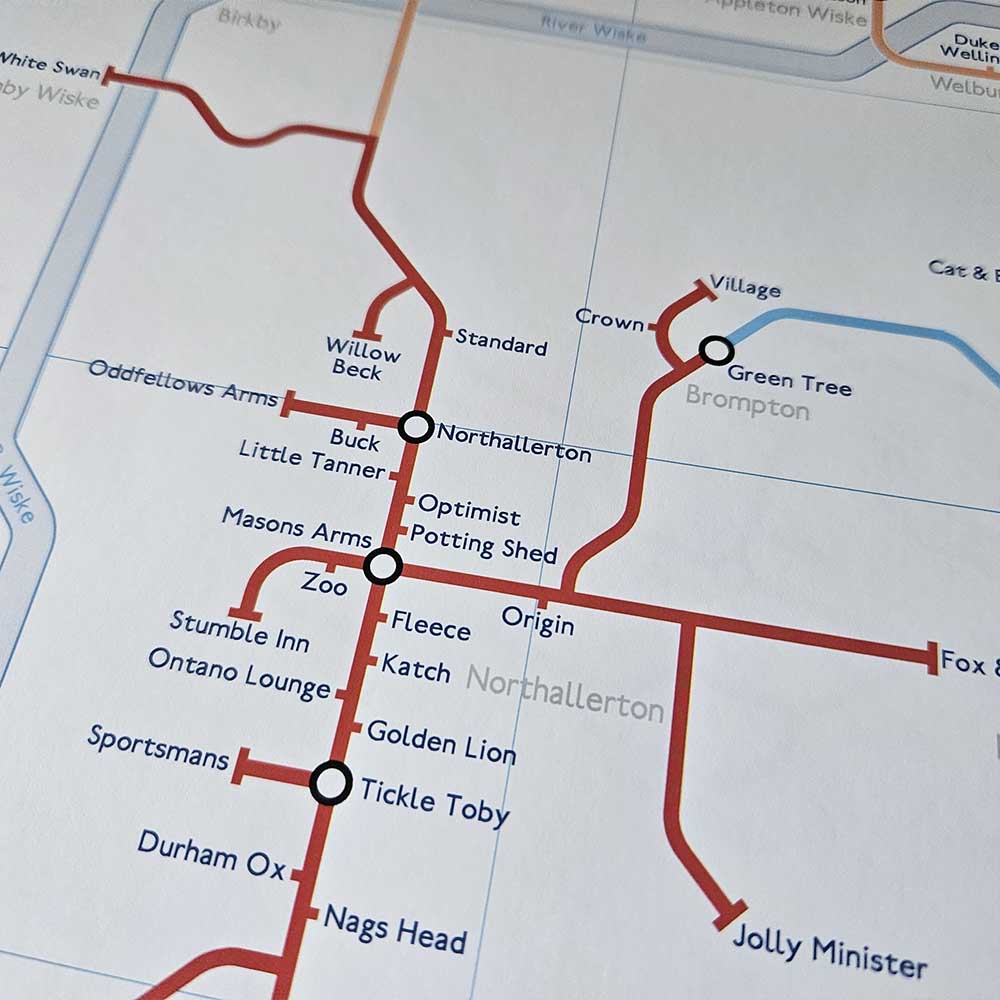
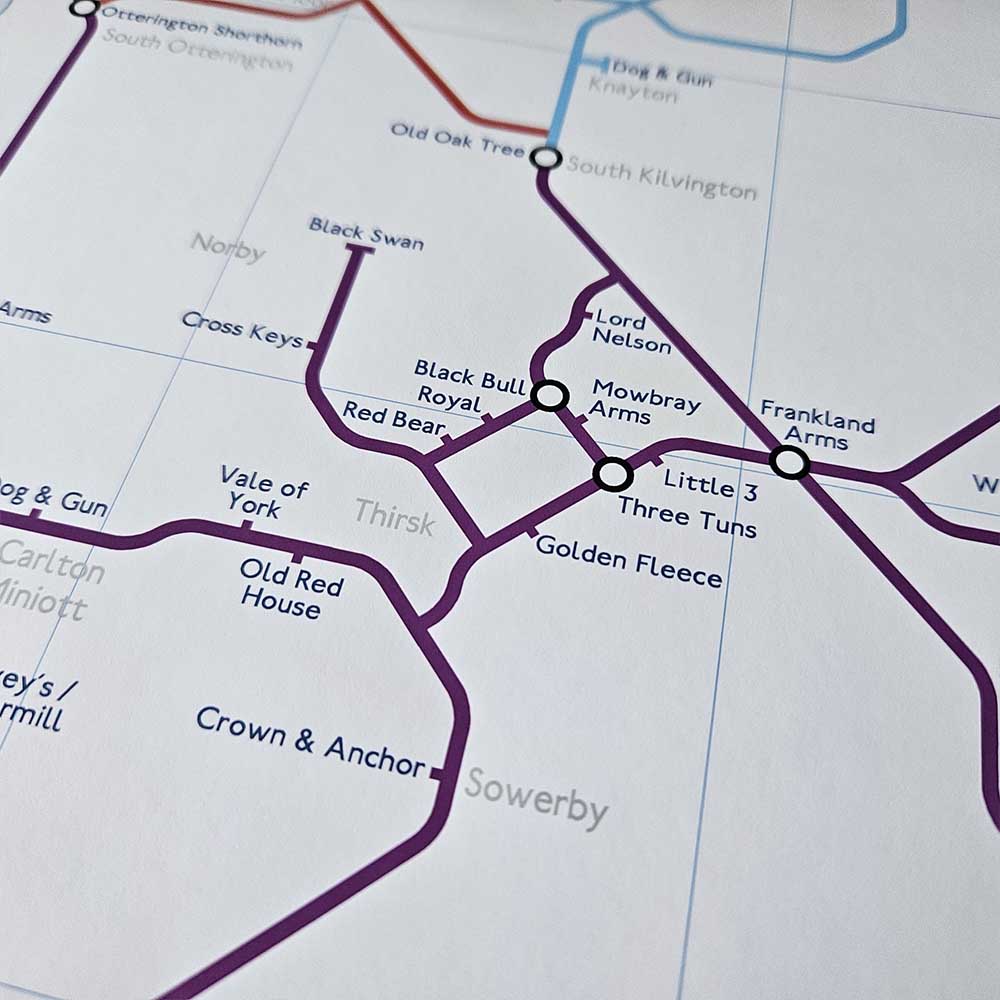
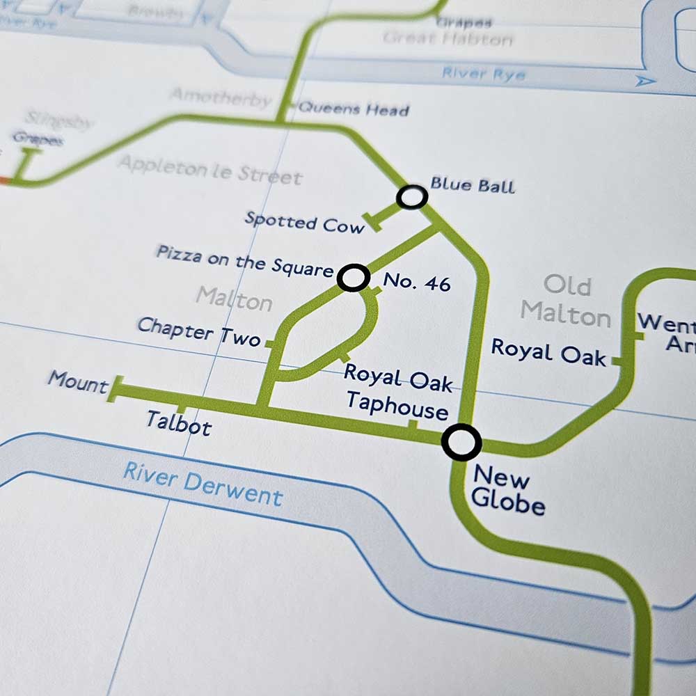
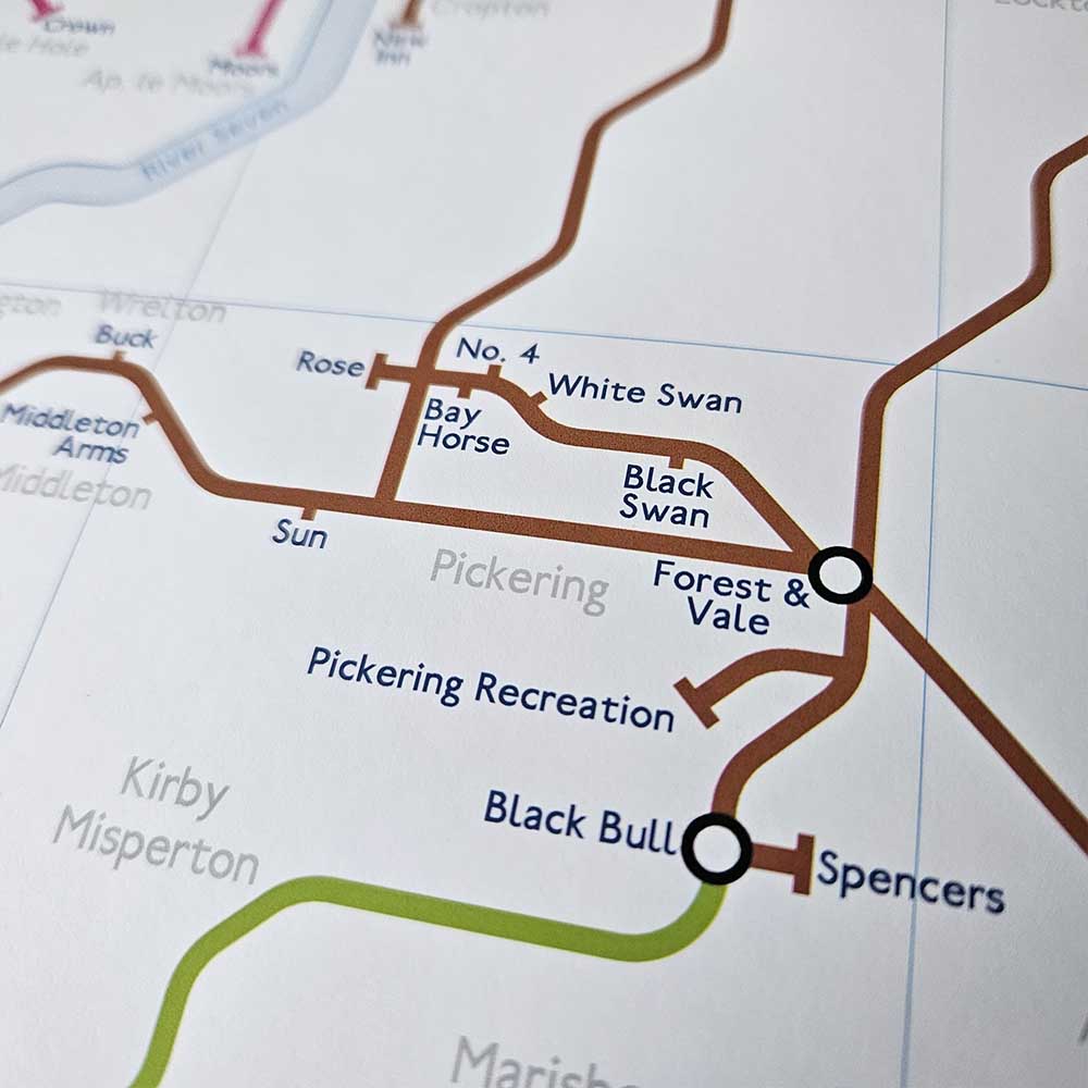
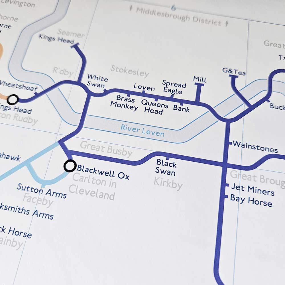
Hambleton & Ryedale (Former Districts of)
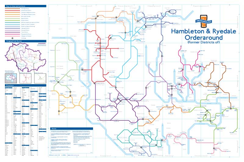
Preview the full map
Map details
Pricing
| 1 Map | £16 |
| 2 Maps | £25 |
| 3 Maps | £30 |
| Bespoke Version | £27 |
Buy the Hambleton & Ryedale Map
Choose how many maps you’d like, then pay securely via the checkout.

Hambleton & Ryedale
Price range: £16.00 through £30.00
Large Map Size: 610 × 915 mm (approx. 24 × 36 inches)
| Quantity | 1 map, 2 maps, 3 maps |
|---|
Bespoke Additions to Large Map
A personalised Large map is available for £27 (instead of the standard £16 price).
This includes up to two bespoke additions, such as a home location, a garden bar or a local club.
After purchase, contact me with your chosen map area and the details of your edits, including the label name and address of the place(s) to be added. You may also choose your marker style::

Bespoke Large Map
£27.00
The large bespoke poster size is 610 x 915mm (24 x 36 inches)
Or if preferred: 470 x 670mm (19 x 26 inches)
with 1 or 2 bespoke additions.